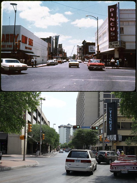
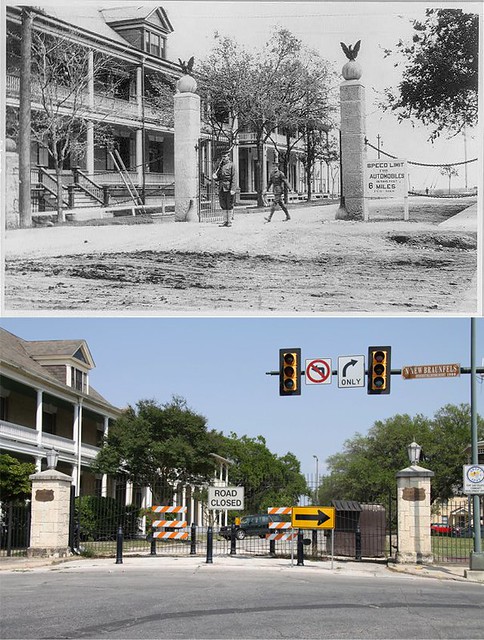
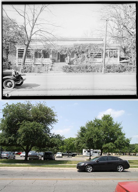
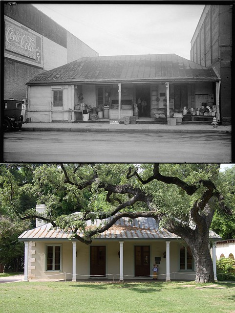
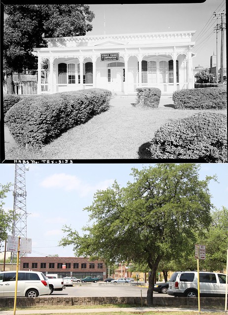
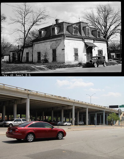
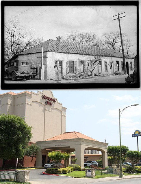
I spent a couple of weeks looking through online databases, sanford insurance maps and google street views to put these together for my own enjoyment. (I'm sick that way) And I thought I might as well share some of 'em with y'all while I'm at it.
[This message has been edited by p_bubel (edited 4/13/2011 3:08p).]

quote:
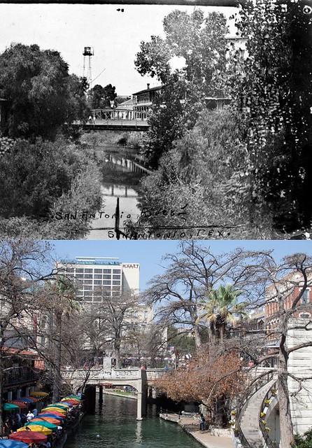
Commerce Street Bridge
Commerce St Bridge, upper photo was taken in 1910 before the street and bridge was widened and the river channeled. The iron truss bridge was moved down river to the King William area and now serves as a pedestrian bridge on Johnson Street. It's often called the O. Henry bridge after it's mention in several of his stories.
www.alamo.edu/sac/english/mcquien/htmlfils/commerce2.htm

quote:
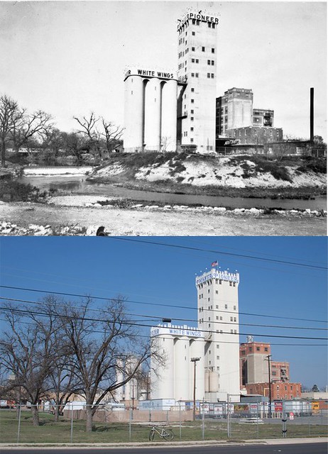
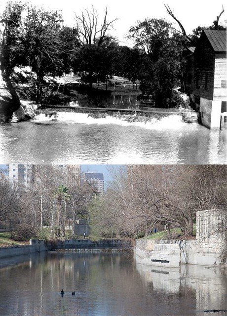
Guenther Mill
Guenther Upper Mill, built in 1868 and photo taken in 1920.
Trained as a millwright in his native Germany, Carl H. Guenther (1826-1902) started his San Antonio operation in 1859 at the site of the present Pioneer Flour Mills. In 1868 he built another dam and mill upstream at this location. Because it was closer to town, the upper mill was an outlet for products from both plants. About 1900 the Guenther family began operating exclusively from the downstream facility. The vacated upper mill housed a macaroni factory, an ice cream company, and later a garage. In 1926 the structure was razed to widen the San Antonio River.
[This message has been edited by p_bubel (edited 4/13/2011 3:08p).]

