2017 Tropical Fun

7,895 Views | 122 Replies | Last: 6 yr ago by RGV AG
PJYoung
How long do you want to ignore this user?
AG
Let's do this.

The Euro model for 8.10.17 at 7am:


PJYoung
How long do you want to ignore this user?
AG
OXDL45
How long do you want to ignore this user?
AG
Yikes.
scottimus
How long do you want to ignore this user?
AG
Good we need the rain.
PJYoung
How long do you want to ignore this user?
AG
Today's EURO run (Again, showing 8.10.17 7am position):

RGV AG
How long do you want to ignore this user?
AG
Be interesting to see how this plays out, it seems that whenever one is predicted around the RGV, it never seems to happen. The area does need the rain, looked real dry last week when I was there. Somehow I doubt that it makes it to the RGV that early, as Dove season is much later .
PJYoung
How long do you want to ignore this user?
AG
Yeah lots of doubt still for sure
PJYoung
How long do you want to ignore this user?
AG
Track has shifted to the south and the NHC has lessened the chances from 60% to 50%. The EURO hasn't updated yet so here's the NAVGEM model for Thursday at 7am:

RGV AG
How long do you want to ignore this user?
AG
Ha! The RGV will remain dryer than popcorn flatulence, while to the north and south abundant rain will happen. Except for the opening of dove season when a brief biblical downpour will happen that will do nothing to ease drought conditions but will make it impossible to access hunting areas for a few days will providing enough water to reinvigorate a tremendous mosquito population. Nothing like hunting in the mud in 100 degree weather with swarms of mosquitoes, man I miss the Valley!
OXDL45
How long do you want to ignore this user?
AG
RGV AG said:

Ha! The RGV will remain dryer than popcorn flatulence, while to the north and south abundant rain will happen. Except for the opening of dove season when a brief biblical downpour will happen that will do nothing to ease drought conditions but will make it impossible to access hunting areas for a few days will providing enough water to reinvigorate a tremendous mosquito population. Nothing like hunting in the mud in 100 degree weather with swarms of mosquitoes, man I miss the Valley!

That is unfortunately a spot on description of the RGV weather and usual hunting conditions.
PJYoung
How long do you want to ignore this user?
AG
80% this morning but looking like it will miss us south
PJYoung
How long do you want to ignore this user?
AG
PJYoung
How long do you want to ignore this user?
AG
Alright the EURO thinks that TS Harvey(? Not sure that this is Harvey) will be a CAT 2 dangerous hurricane on our doorstep in 6-8 days.

Sunday night August 27th as it moves due west:

PJYoung
How long do you want to ignore this user?
AG
Ah and the NAVGEM navy model Friday morning the 25th:

RGV AG
How long do you want to ignore this user?
AG
When is dove season, that is really what you need to watch. This storm is low coming into the Caribbean, a few have tracked west and then north west, but not many. It is way too early to really know about the ContUS, but you can rest assured it will be high time to see a bunch of ads relating to hurricane prep.
PJYoung
How long do you want to ignore this user?
AG
The models are coming into agreement that Harvey will reform to our south and develop into at least a tropical storm. Landfalls range from Tampico to Houston so they still have some agreeing to do.
PJYoung
How long do you want to ignore this user?
AG


RGV AG
How long do you want to ignore this user?
AG
I need to check out the forecasts, what site are you using?

Supposedly they were taking a plane into it yesterday evening, I wonder what the report was. This storm might have some legs for the RGV as it is dove opener, I swear it is incredible how many times it has rained during the dove opener after months of prolonged drought. And it rains just enough to not do much good but to ruin hunting.
PJYoung
How long do you want to ignore this user?
AG
https://www.tropicaltidbits.com/analysis/models/?model=ecmwf

That's set for the Euro but he has all of the models on there. They are usually up on there a few hours after the models run. Most of them run at 7pm and 7am our time. Levi also does videos when things are active. He breaks it down quite well for us simpletons. I think he's working on his phd at FSU if I remember correctly.
PJYoung
How long do you want to ignore this user?
AG
Today's mission was cancelled - not sure about yesterday.
RGV AG
How long do you want to ignore this user?
AG
Just saw a deal saying STX should get real wet, but who knows. I remember the drought that ate the hurricane in like 2011, that was incredible.
PJYoung
How long do you want to ignore this user?
AG
lol yes I remember that. It just disappeared. Amazing.

7am runs are more of the same.:

RGV AG
How long do you want to ignore this user?
AG
Any landfall 40 miles or more south of Brownsville will mean a very wet event for the RGV, obviously depending on the size of the storm. It seems that for the past 30 or so years, save for Dolly, the storms have either been slightly to the North or just far enough South to spare the RGV, even Dolly was not a big wet storm for the RGV. The one in 2010 coupled with the Mexican west coast stuff did really water the valley down. But a lot of that water was via the river and not so much rain in the immediate RGV watershed.
PJYoung
How long do you want to ignore this user?
AG
Yeah I was amazed at how much damage Dolly did for a cat 1. It was just a very, very slow hurricane. Pounded us for a full day. Destroyed my two little trees in McAllen.


Duckhook
How long do you want to ignore this user?
AG
RGV AG said:

Any landfall 40 miles or more south of Brownsville will mean a very wet event for the RGV, obviously depending on the size of the storm. It seems that for the past 30 or so years, save for Dolly, the storms have either been slightly to the North or just far enough South to spare the RGV, even Dolly was not a big wet storm for the RGV. The one in 2010 coupled with the Mexican west coast stuff did really water the valley down. But a lot of that water was via the river and not so much rain in the immediate RGV watershed.

Disagree about a non-wet Dolly. Wish I could upload some of the pics I have. I was in the area of north Harlingen that was in the 18" rain areas. More than that up in Willacy county. Expressway was cut off in the La Feria area. I saw fish swimming in some streets in Palm Valley.
RGV AG
How long do you want to ignore this user?
AG
Duck:
I think you are right about the flooding and accumulations in some areas. Now remember that very quickly after Dolly, Ike went in up the coast. There was rain showers for several days during and after Dolly. I know that my roof got blown off in PI, and the immediate inspection wasn't that bad on the interior. But like 3 days later quite a bit of rain fell and I had a lot of water damage, which incidentally I had to fight like hell with the insurance about.

But the overall rainfall was less than storms like Allen or Beulah, Beulah I want to say dropped like 15-20" across the RGV consistently and over about a 36 hour period. In talking to people that went through Beulah, one knowledgeable RGV weather veteran, I have heard that the flooding in today's RGV will be biblical in comparison to Beulah due to all the runoff areas being paved over and drainage conjoined, also a lot has been built in areas that are low lying.

I hope my pic post of rainfall totals, and you are 100% right some areas had quite a bit, but others were "dry" for being in the path of a Cat. 2 hurricane. A semi rural area should be able to absorb about 6-8" over a 2-3 days.


[img][/img]
Duckhook
How long do you want to ignore this user?
AG
Good graphic. Still a very wet storm. I haven't had street flooding like Dolly either before or since. I was 11 and living in Brownsville for Beulah. Worst flooding of course was in Harlingen after a floodway structure either failed or was sabotaged, depending on who you believe. Looks like we're in for rain one way or another at the end of this week. Farmers working overtime this week to get as much cotton in as they can.
PJYoung
How long do you want to ignore this user?
AG
Models shifting a bit north and a couple are giving Corpus a nasty hit. EURO (best performing) is still on us as of the 7pm run but it has been consistently shifting north as well with each run.

When it pops out from the Yucatan tonight and forms a closed low we will have a much better idea.
RGV AG
How long do you want to ignore this user?
AG
Duck:

Was the rainfall and then rising water in Beulah as bad as many say? Or is it one of those "up hill in the snow" type deals that grows with time? Following is a link to the the wiki page rainfall amount for Texas and it is impressive. https://en.wikipedia.org/wiki/Hurricane_Beulah#/media/File:Beulah_1967_rainfall.png This was a very wet storm from appearances. An old family friend in the RGV north of Weslaco claimed he recorded 20" in just under 48 hours, that is a ton of rain.

I have seen pretty good flooding in both McAllen and Harlingen when a strong rain of over 4" hits quickly, the drainage systems in a large part of the RGV would never be able to handle a Beulah type storm and the Mexican side is going to be a disaster of epic proportions, as during Beulah only about 300K lived from Camargo to Matamoros and there was a ton of farm land. Now populations are likely pushing 2mm on the Mexican side and a ton has been built upon low areas that are very flood prone. I have seen big rains, like 3-5" keep people from their homes for over 3 weeks in some spots in Mexico.

It is awfully interesting to me to watch the RGV in terms of rainfall, there is going to be a big problem someday.

zarbas77
How long do you want to ignore this user?
AG
Beulah is credited with being the 7th wettest storm in Texas History dropping 27+ inches of rain. Amelia in 1978 is #1 with 48".

The current Euro shows Harvey dumping 30+ inches in some parts of South to Southeast Texas. The current Euro shows the Valley getting around 3".

This info was from Weatherbell Analytics.
No material on this site is intended to be a substitute for professional medical advice, diagnosis or treatment. See full Medical Disclaimer.
RGV AG
How long do you want to ignore this user?
AG

Quote:

This is a heads up on a potential heavy and flooding rain event for the Valley. We are projecting EX-Harvey to track northwest into the Bay of Campeche in the southwest Gulf of Mexico on Wednesday where it will fine low wind shear, very warm water and moist unstable air. These ideal environmental conditions will allow the system to wrap up and become a tropical storm once again. The redevelopment process will be gradual. But once a lower level circulation center forms it could intensify quickly. How much is uncertain. It's not out of the question that a redeveloped Harvey could become a strong tropical storm and perhaps even a hurricane. Computer models are being run on this system without a real low level center. So, until one does form the exact track is going to be questionable. But global computer models are showing the system moving inland just south of the Valley on Friday with a very large area of heavy rain. The other issue might be that the system could stall over northeast Mexico Friday night and through the upcoming weekend. That would bring phenomenal rainfall with totals over 12" leading to widespread flooding.

Again exact details on this system are going to be very uncertain until the low level circulation center forms Wednesday and Wednesday night.

Please let me know if you need additional information later this week. I will send an update to this later Wednesday once we see formation happening.
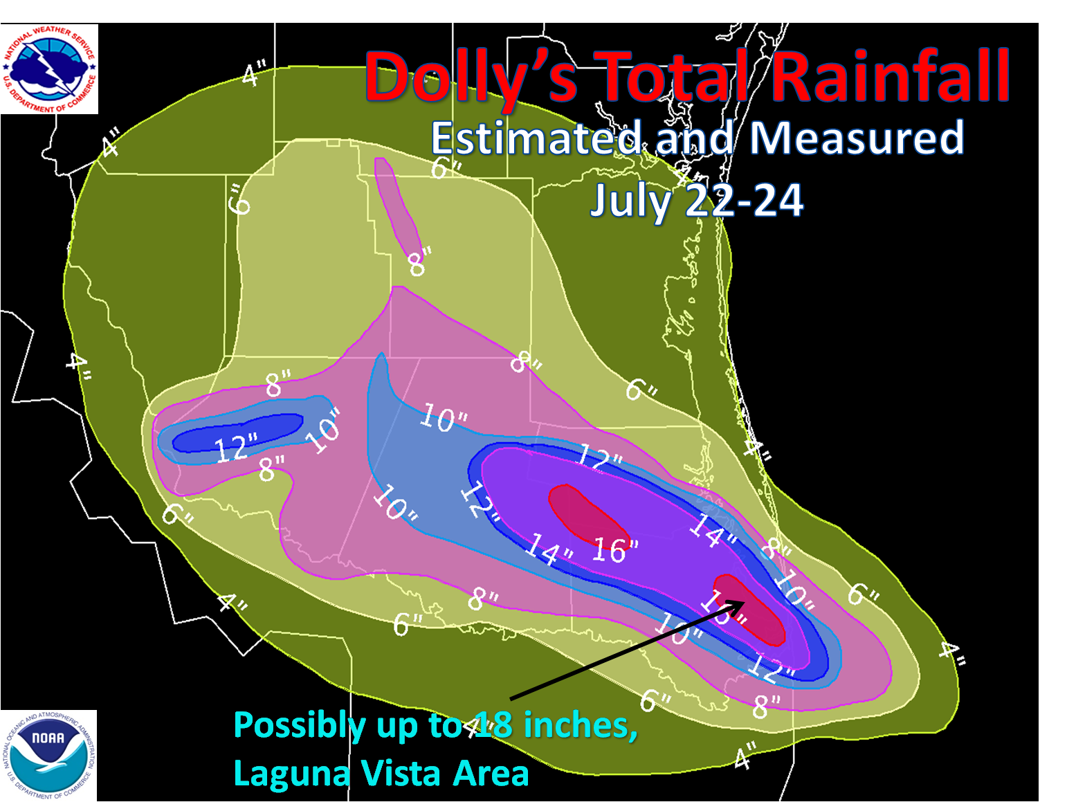
SPI Flatscatter posted this on the thread in the outdoor board, he is a big time Ag guy and tracks weather very, very carefully, I think he has high dollar paid services for it. So this could be pretty interesting. I hope I am not plagiarizing or anything.
Eugene4x
How long do you want to ignore this user?
PJYoung
How long do you want to ignore this user?
AG
By the way - this model forecast 'spaghetti map' I posted earlier updates every few hours so it stays current. Just subtract 5 hours from the z time for Texas time.

Like that update mentioned - a lot more will be known late tonight/early tomorrow when/if it forms a closed low in the gulf. Take these projections with a grain of salt until then. I would say they will have a very close to certain idea of where this is going by this time tomorrow.

PJYoung
How long do you want to ignore this user?
AG


carl spacklers hat
How long do you want to ignore this user?
First, anyone who thinks Dolly was NOT a wet storm is out of their mind. The floodway between Weslaco and Mercedes was filled for MONTHS! The storm's stall/slow forward movement resulted in a lot of rain falling over most of the Valley (8 inches everywhere?) with pockets getting absolutely blasted.

I'm going to call it now, Ex-Harvey/Reanimated Harvey will skirt the Valley and make landfall just south of Corpus Christi. In typical Valley fashion, the panic bells will ring, we'll stay up late watching radar and end up on the dry side of the thing when its all said and done;-) That being said...I just read the report above from SPI Flatscatter and I will add this: We are inside the all-important Whitewing Innundation Period, that time of the year when the usually sere Valley receives its annual downpour just before Whitewing Season and in time to make all the fields insanely muddy, give rise to clouds of mosquitos and keep things generally hot and sticky through mid-September. Ha!

Last Page
Page 1 of 4
 
×
subscribe Verify your student status
See Subscription Benefits
Trial only available to users who have never subscribed or participated in a previous trial.