agent-maroon said:
CanyonAg77 said:
Thaddeus73 said:

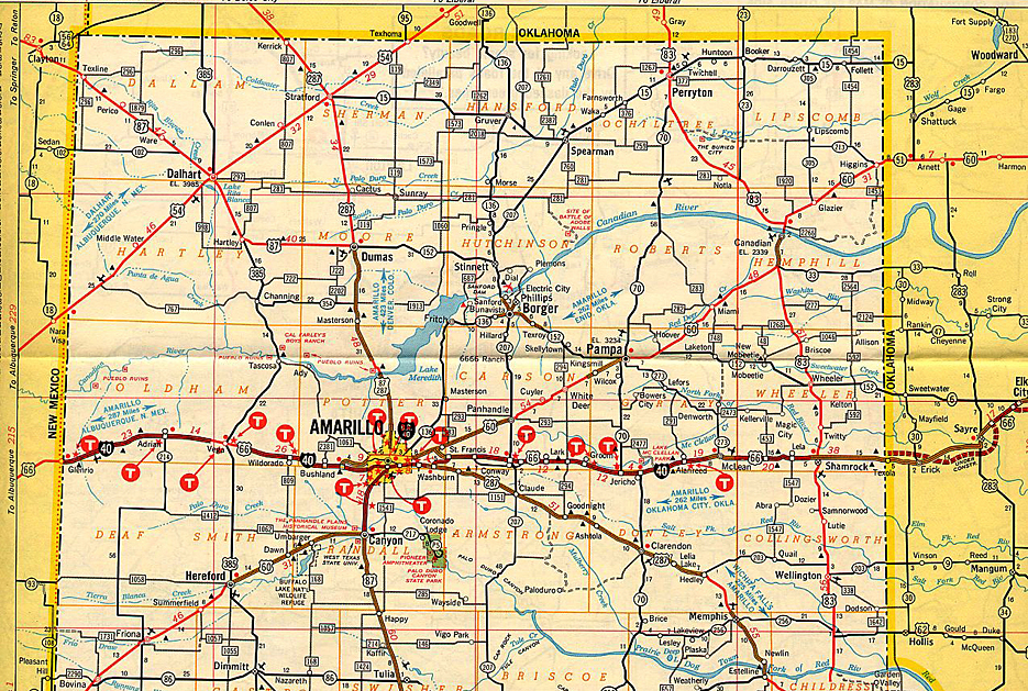
That is an old map. Route 66 was gone, and it was I-40 by 1985. WTAMU has not been West Texas State since 1993. It is newer than 1965, as it has Lake Meredith. I-27 began in about 1975, so that's probably about a 1970 map.
Not just to be correcting you or anything, but I-40 was already in place when we moved to Amarillo from Lubbock in 1972. I-27 was already under construction as well, but I didn't recall anybody referring to it as an interstate until the mid-90's. But I could be wrong about I-27.
Corrections are always welcome. Note that the map that was posted has a mix of I-40 and Route 66. I will agree that 1985 seems late, but Wikipedia claims it was 1985 when the last of I-40 was finished in the Panhandle, and the entire route converted from 66 to 40.
As far as I-27, I think that 1975 is a likely date for the construction of I-27. I recall driving on what is now I-27 north of Happy, on the way to Palo Duro. It was a wide right-of-way, obviously meant to be a big highway, but even in the late 70s, it was just a single two lane road.
There were "Interstate" segments, to be sure. Abernathy and Hale Center had overpasses and service roads, and the Canyon e-way existed between Amarillo and Canyon. But the rest of the route was still just 4 lane divided highway, US 87. You drove through Plainview, Kress, Tulia, Happy, and Canyon, you did not bypass them.


