quote:
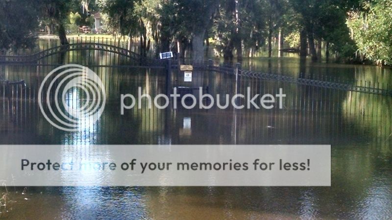
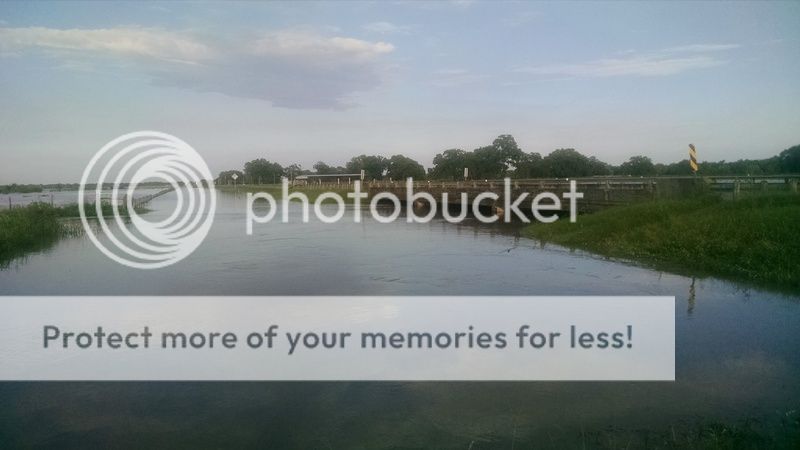
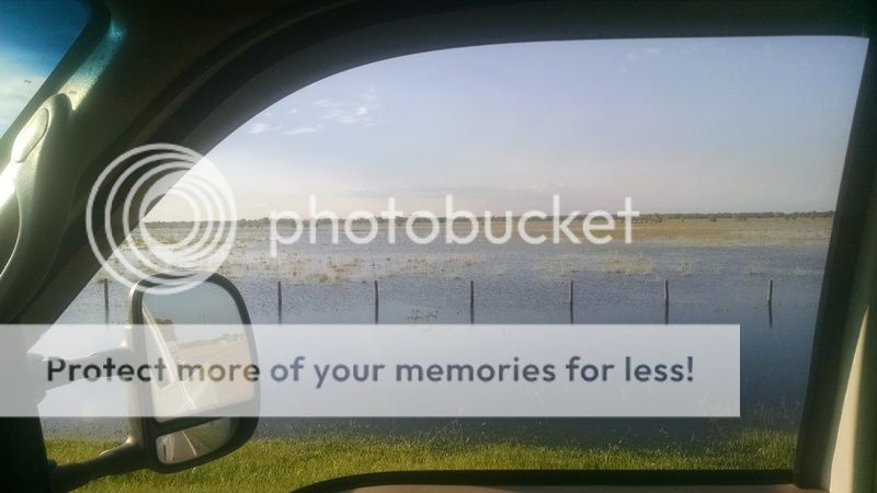
Is there a website that shows real time satellite images that us serfs can access? I'd really like to see what the flooding is like locally, but all I can get are pictures from here and there taken by folks at ground level or the rare aerial pictures from a plane.
Seems that with all of the tech we have today, there'd be something available to us to look at.
There are modis today images. Cloud cover dependent of course but images are taken each day around noon. I remember seeing tornado tracks with it after the April 2011 tornado outbreak in Mississippi and Alabama. I'll post a link later if Google doesn't do the trick for you.


