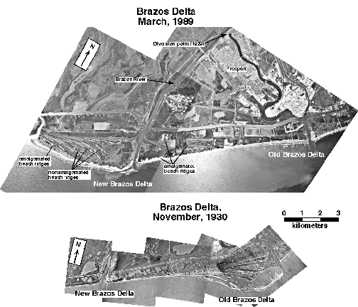

I read that the flood of 1913 essentially merged the Brazos and Colorado rivers to form a 65 mile wide lake south of Columbus. In addition, it says that flood caused the Brazos to change course .
Anyone know if it changed course simply upriver or actually changed where it entered the gulf from somewhere else to where it is now in Freeport?
This is the best I've found via the googles that mentions the river changing course.
http://www.brazos.org/brazoshistory.asp
Anyone know if it changed course simply upriver or actually changed where it entered the gulf from somewhere else to where it is now in Freeport?
This is the best I've found via the googles that mentions the river changing course.
http://www.brazos.org/brazoshistory.asp